Žalec: Celje Airfield | LJCL | Slovenia
![]() Žalec, 斯洛文尼亞 / 斯洛維尼亞 / 斯洛文尼亚
Žalec, 斯洛文尼亞 / 斯洛維尼亞 / 斯洛文尼亚
Real-Time Environment
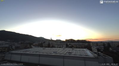
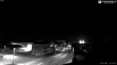
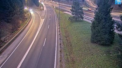
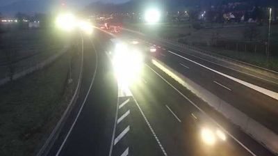
Welcome to the live streaming webcam for Žalec: Celje Airfield | LJCL | Slovenia, perfectly situated in the vibrant region of Žalec, 斯洛文尼亞 / 斯洛維尼亞 / 斯洛文尼亚. Watching this live camera allows you to instantly experience the local atmosphere and monitor current climate conditions.

About Žalec
Žalec is a town in central Slovenia. It is the seat of the Municipality of Žalec. It lies in the valley of the lower course of the Savinja River west of Celje. The primary economic activity of the region is growing hops, which is reflected by the city's coat-of-arms. The area is part of the traditional region of Styria. The municipality is now included in the Savinja Statistical Region.
📖 Read more on Wikipedia📍 Location Facts
-
Country
 斯洛文尼亞 / 斯洛維尼亞 / 斯洛文尼亚
- Region Karavanke
- City Žalec
- Coordinates 46.2435°N, 15.2197°E
Have you been to Žalec?
Help the community! Share your experience, tell us about the weather, or upload your own photos from this exact location.