Chilpancingo › West: C167) WB 905 : SR-11 Enrico Fermi 1
![]() Chilpancingo, 墨西哥
Chilpancingo, 墨西哥
Real-Time Environment
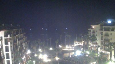
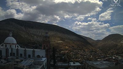
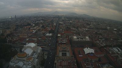
Welcome to the live streaming webcam for Chilpancingo › West: C167) WB 905 : SR-11 Enrico Fermi 1, perfectly situated in the vibrant region of Chilpancingo, 墨西哥. Watching this live camera allows you to instantly experience the local atmosphere and monitor current climate conditions.

About Chilpancingo
Chilpancingo de los Bravo is the capital and second-largest city of the Mexican state of Guerrero. In 2010 it had a population of 187,251 people. The municipality has an area of 2,338.4 km2 (902.9 sq mi) in the south-central part of the state, situated in the Sierra Madre del Sur mountains, on the bank of the Huacapa River. The city is on Federal Highway 95, which connects Acapulco to Mexico City. It is served by Chilpancingo National Airport, which is one of the five airports in the state.
📖 Read more on Wikipedia📍 Location Facts
-
Country
 墨西哥
墨西哥
- Region Baja California
- City Chilpancingo
- Coordinates 32.5646°N, -116.9282°E
Have you been to Chilpancingo?
Help the community! Share your experience, tell us about the weather, or upload your own photos from this exact location.